30 Apr, 07 – 21.35
15.2775N,45.3549W
24 hr progress: 32.9 Nautical Miles (1 nm = 1.85 km)
Distance left to Antigua (straight line): 936 Nautical Miles ( 1731 km)
Distance completed: 2140 NM (3959 km)
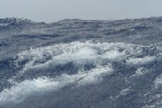
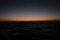
Wave height: 10-12 ft, Winds: 20-25 knots ENE, Bearing: 270 -310 degrees.
Last night, I got caught off guard by a freak wave just as I was walking back from the deck to the cabin. I had my back to the waves and my eyes were still getting adjusted to the darkness when a giant wave hit the boat broadside, bringing the gunwales within inches of the water and throwing me onto the rails. Fortunately I had just enough time to grab hold of the rails and I had my life line still on.
Usually, while rowing, I am facing the waves which gives a few seconds of advance warning. And with a breaking wave, its always possible to see the white foam reflecting in the moonlight. The problem with freak waves is that they tend to be unusually large (often an accumulation of waves) and break at the very last minute (under the weight of the crest), making it quite difficult to spot them until the very last minute.
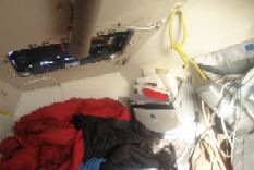
After yesterdays close call, I have put out additional life lines from the stern, , that trail behind the boat, to grab a hold of in case I fall overboard and snap my primary life line.
Send a satellite SMS message: http://www.bhavik.com/crossatlantic/messages.asp
Email: mail@bhavik.com
Get automatic alerts: http://www.humanedgetech.com/expedition/bhavik/newsletter/index.php

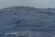
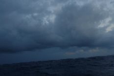
More morning rain storms
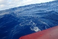
Additional lifelines trailing out from the stern
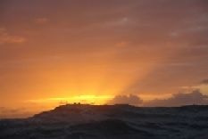
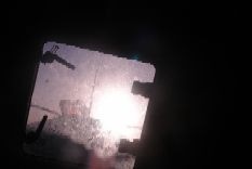
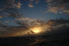
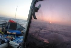
Sunset taken at 22.16 PM GMT